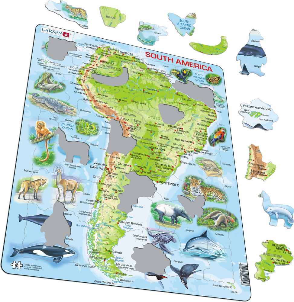
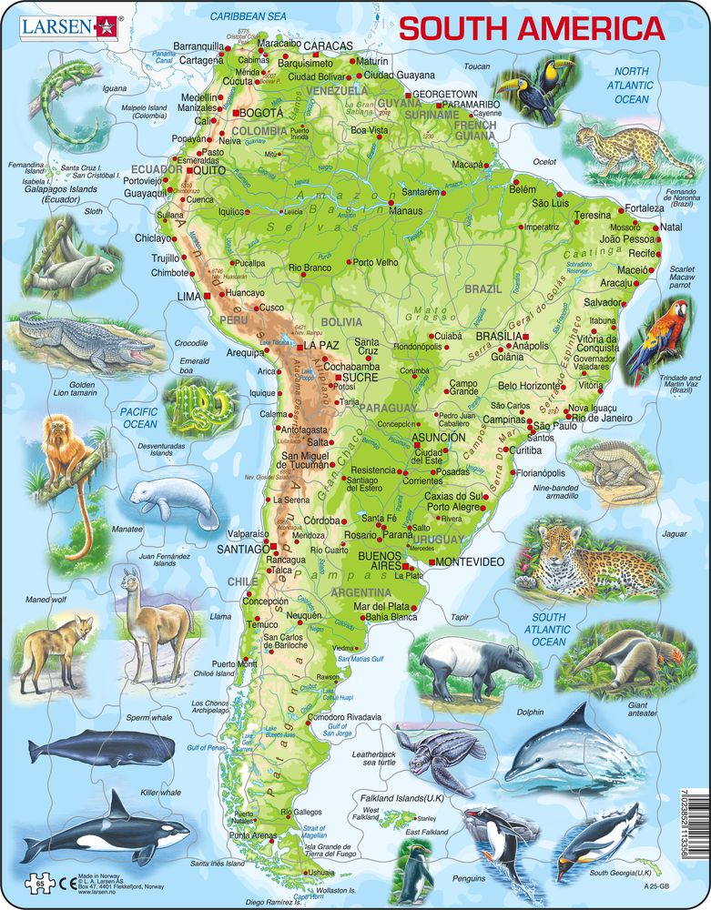
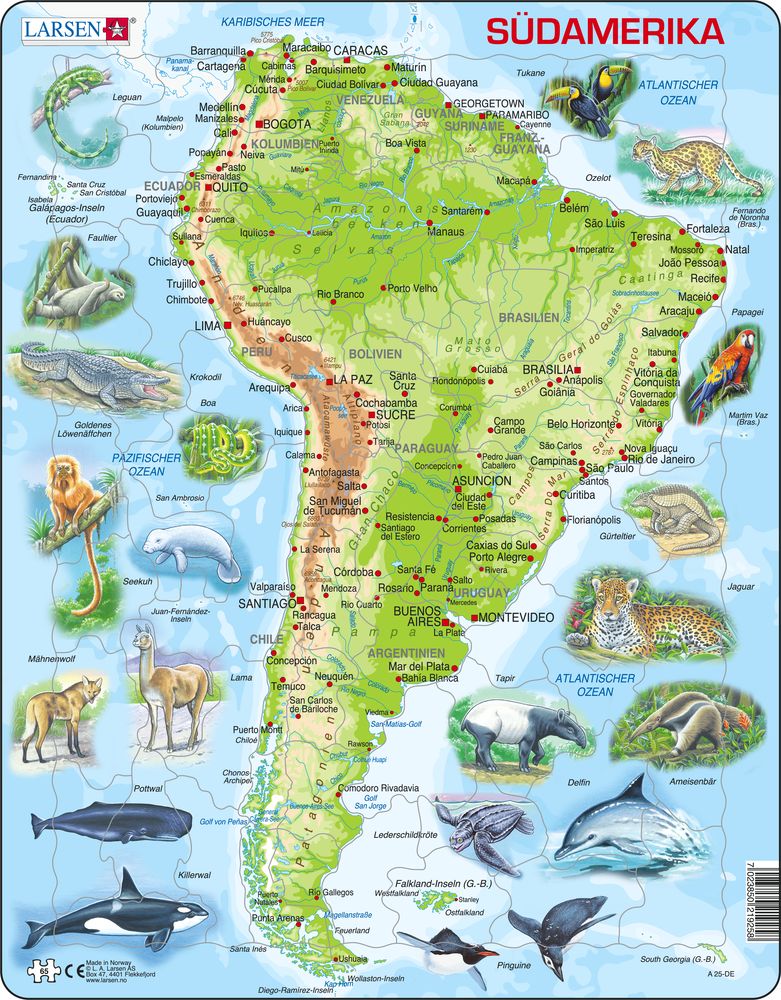
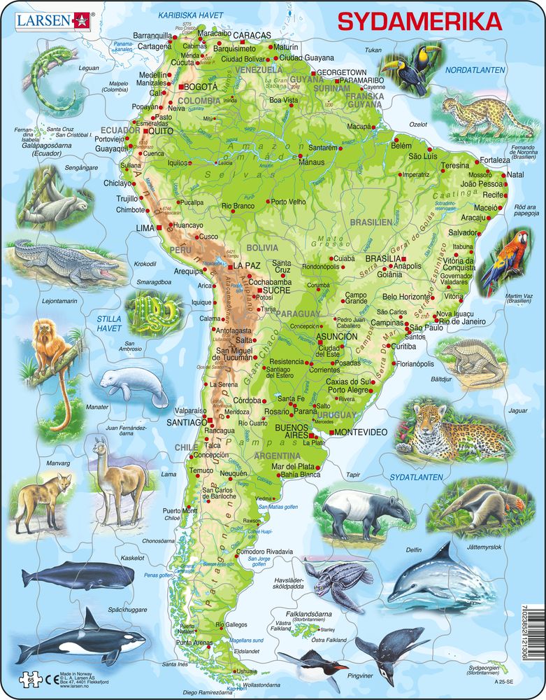
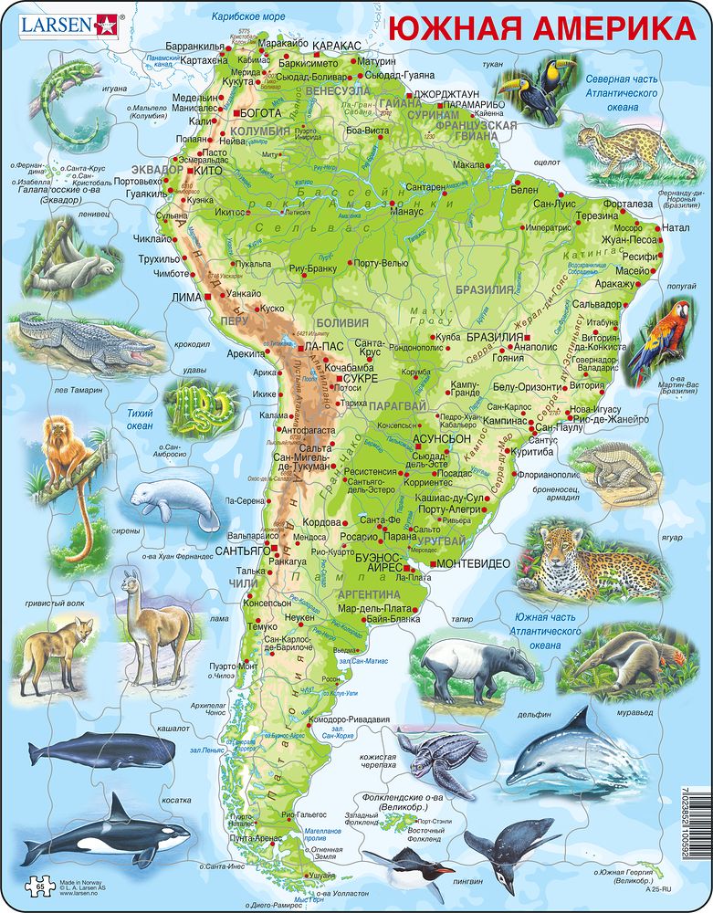
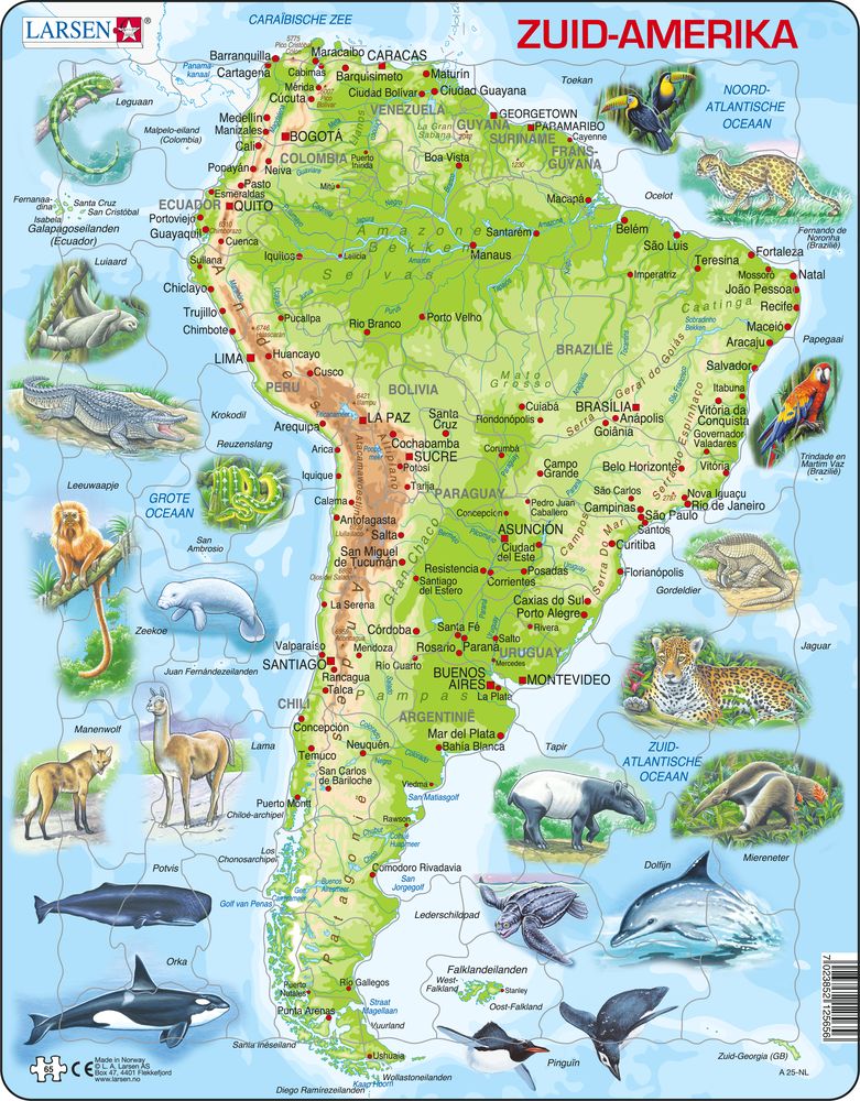
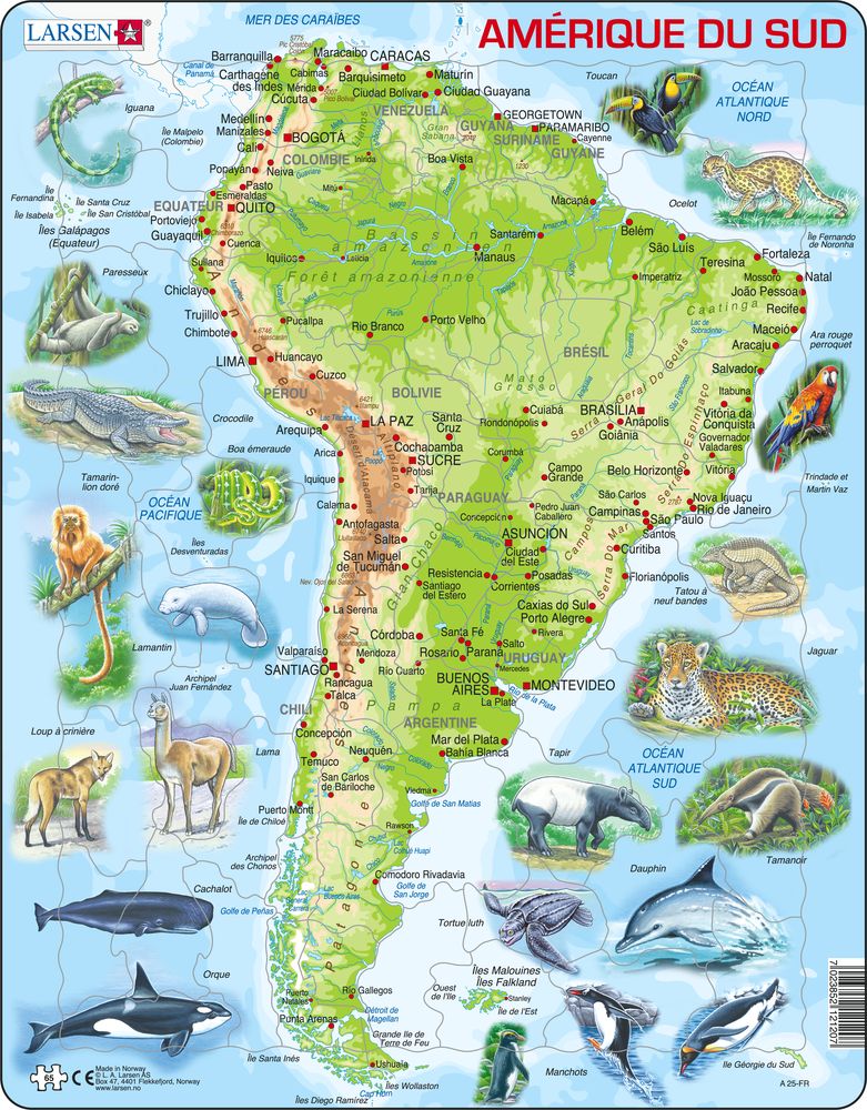
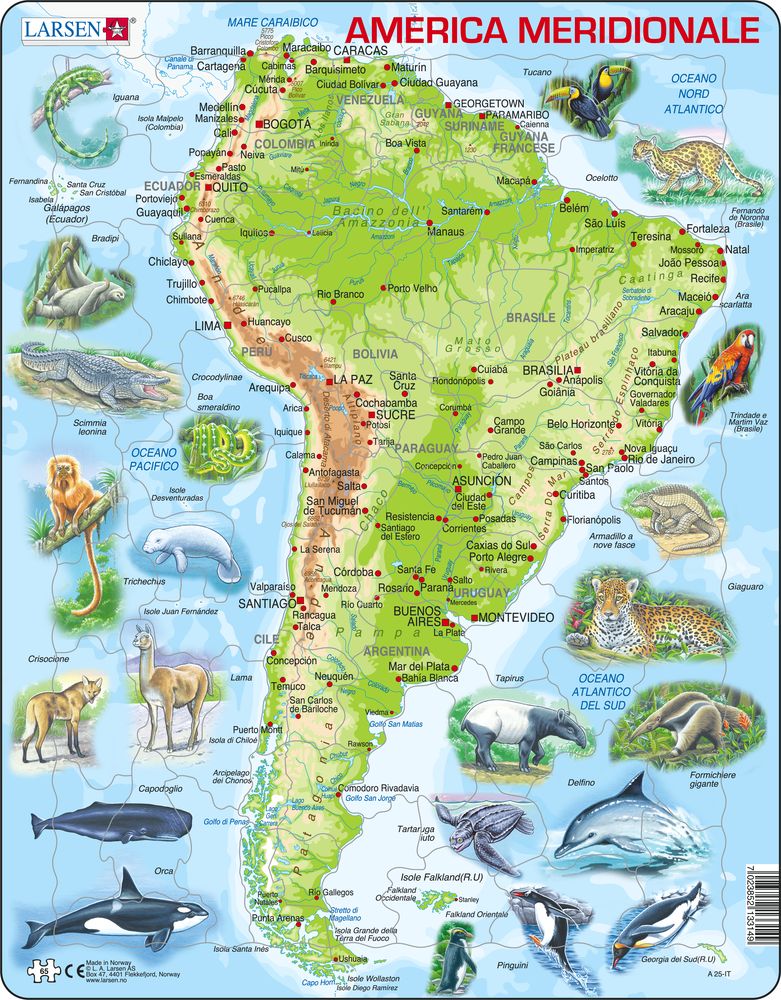
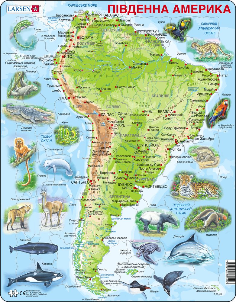
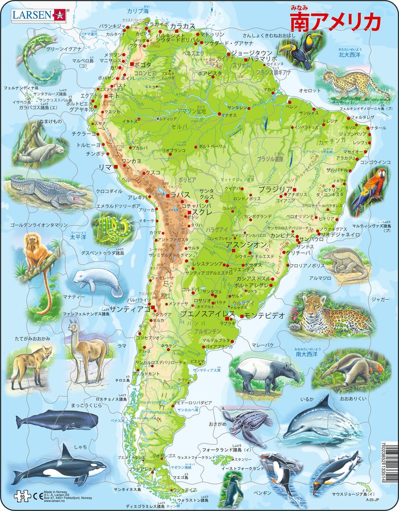
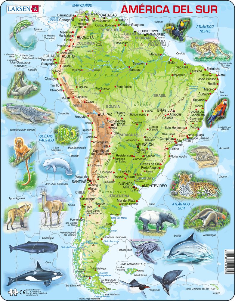
A25 - South America Topographic Map
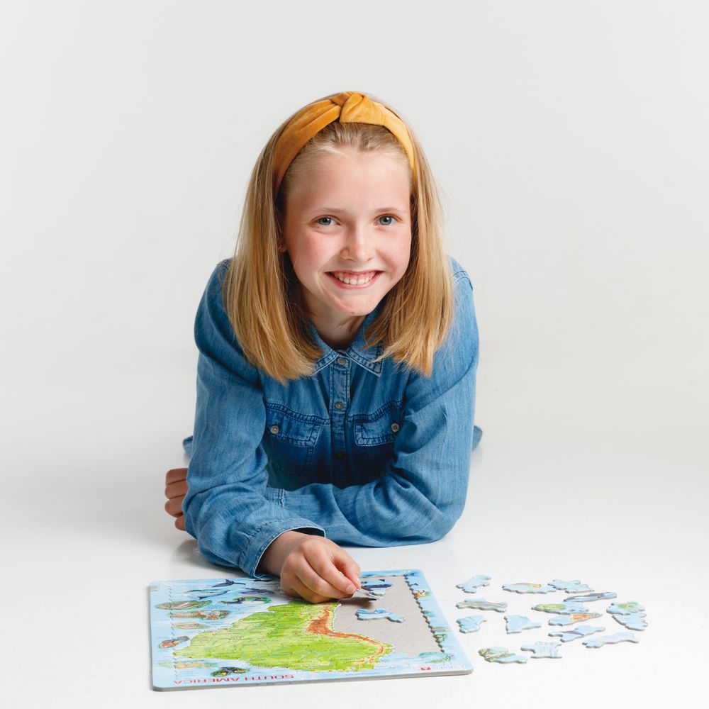
Maxi (36.5x28.5 cm) with 65 pieces
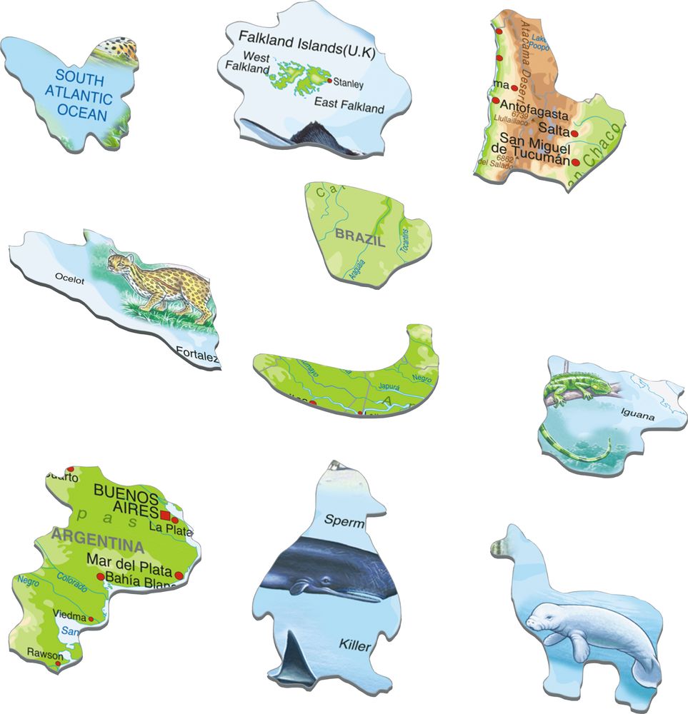
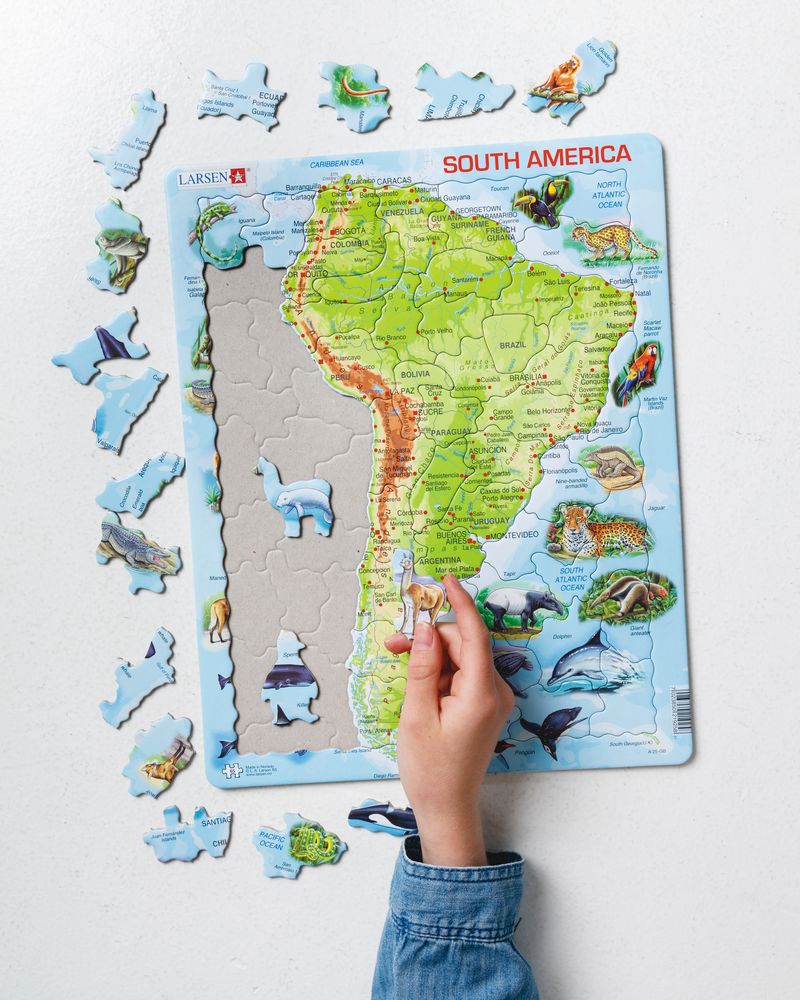
Enjoy learning about the great continent, South America, which stretches from Panama and the Caribbean in the north and almost all the way to Antarctica in the south. In the map you will find names of countries, seas, capitals and other large cities, lands, islands, rivers and mountain ranges. Can you find the largest river, the Amazon River, on the map? The highest mountain, Aconcagua, rises up to 6,959 meters above sea level. The pieces are cut out along the coastlines, and some pieces have the shape of animals and fruits. Around the map there are many beautiful and lifelike drawings of animals from this lush part of the world.
A25 - South America Topographic Map is available in the following versions:
- English (EAN/GTIN: 7023852113356)
- German (EAN/GTIN: 7023850219258)
- Swedish (EAN/GTIN: 7023852121306)
- Russian (EAN/GTIN: 7023852100592)
- Dutch (EAN/GTIN: 7023852125656)
- French (EAN/GTIN: 7023852121207)
- Italian (EAN/GTIN: 7023852133149)
- Ukrainian (EAN/GTIN: 7023852130100)
- Japaneese (EAN/GTIN: 7023852133514)
- Spanish (EAN/GTIN: 7023852121399)

