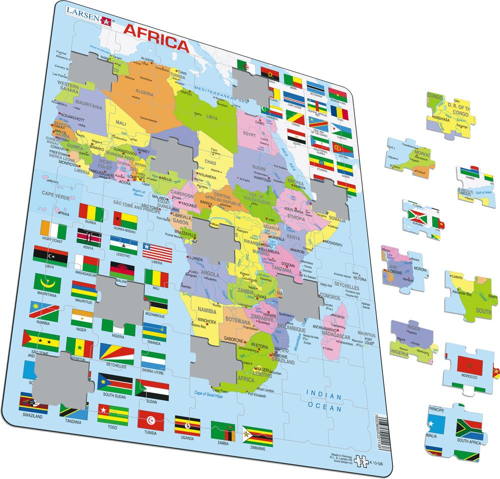
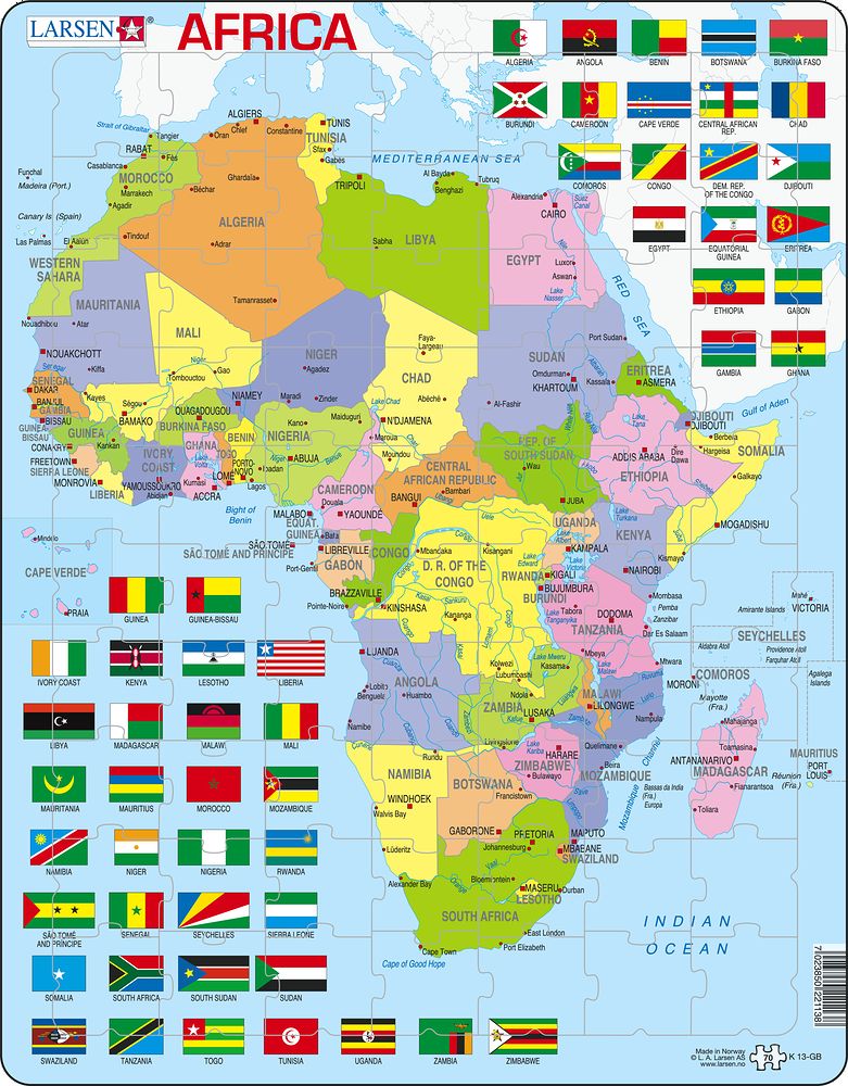
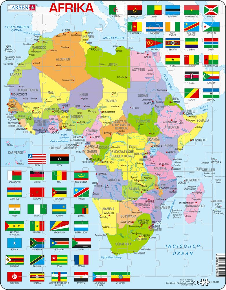
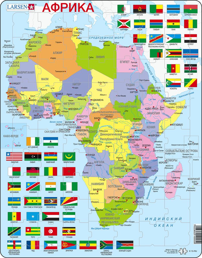
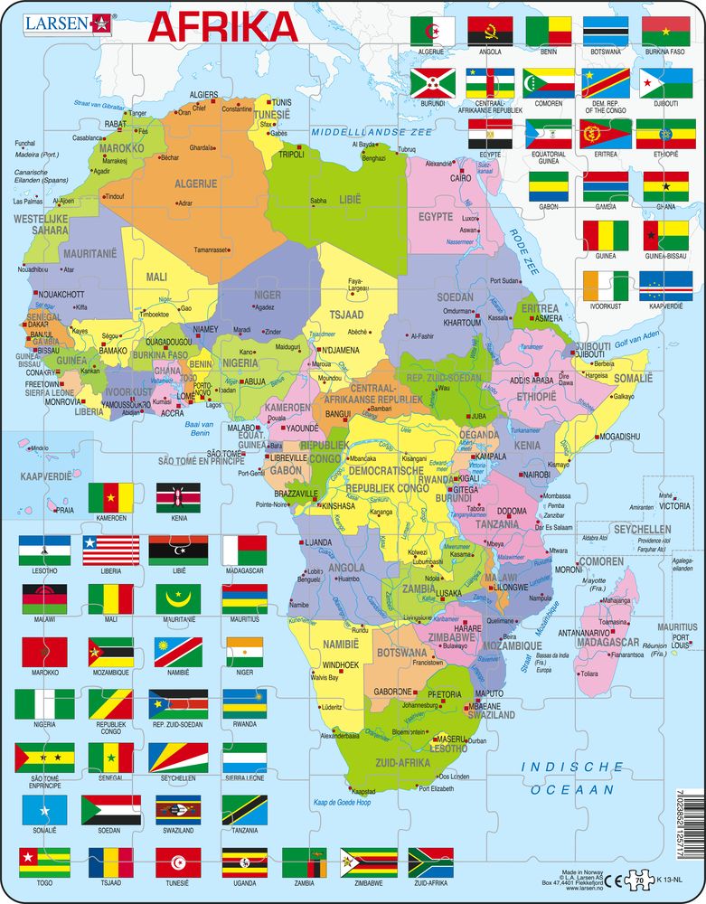
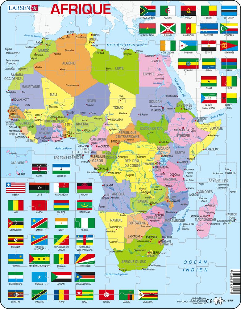
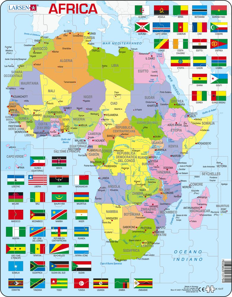
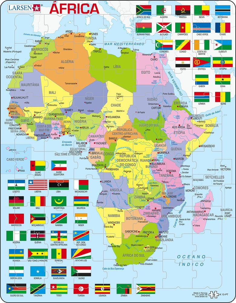
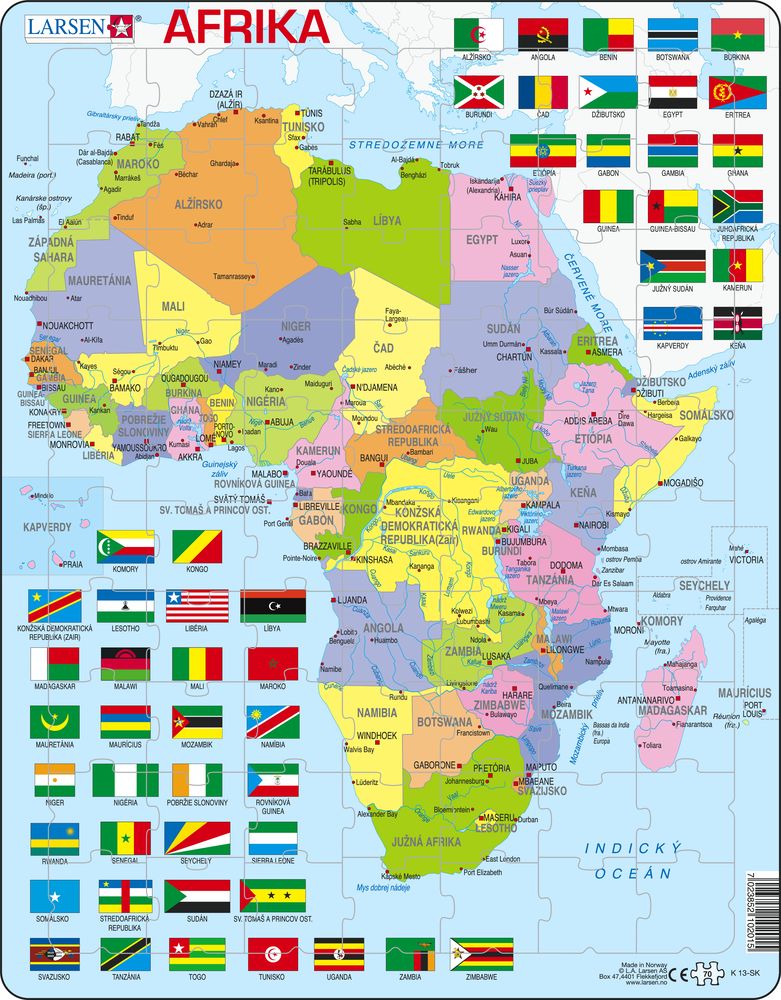
K13 - Africa Political Map
Maxi (36.5x28.5 cm) with 70 pieces
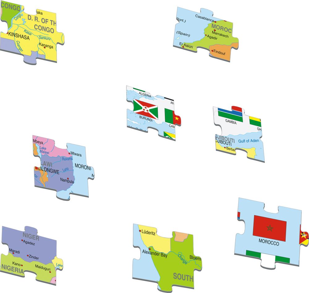
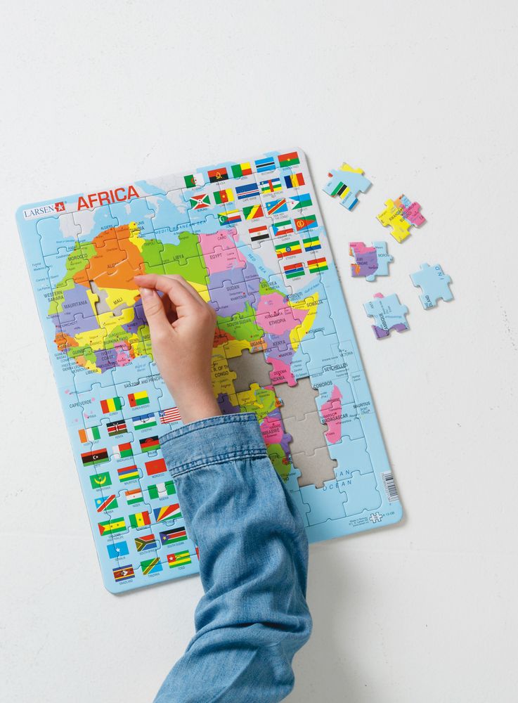
On the top right and the bottom left of the puzzle, you'll find 54 flags and African countries separated by the political map. The bright and cheerful eye-catching colours will most likely grab your attention, helping you to memorise the names of all countries in Africa. The puzzle pieces have been constructed in a similar style of the traditional interlocking design, encouraging the puzzler to look at the colours and remember the names to put the correct pieces together. You'll find the names of all the countries in Africa as-well-as the names of the cities, seas, rivers, and lakes. This puzzle comes complete with 70 pieces and is best suited for older children learning about Africa.
K13 - Africa Political Map is available in the following versions:
- English (EAN/GTIN: 7023852101988)
- German (EAN/GTIN: 7023852101995)
- Russian (EAN/GTIN: 7023852100059)
- Dutch (EAN/GTIN: 7023852125717)
- French (EAN/GTIN: 7023852131749)
- Italian (EAN/GTIN: 7023852131794)
- Portuguese (EAN/GTIN: 7023850221138)
- Slovak (EAN/GTIN: 7023852102015)

