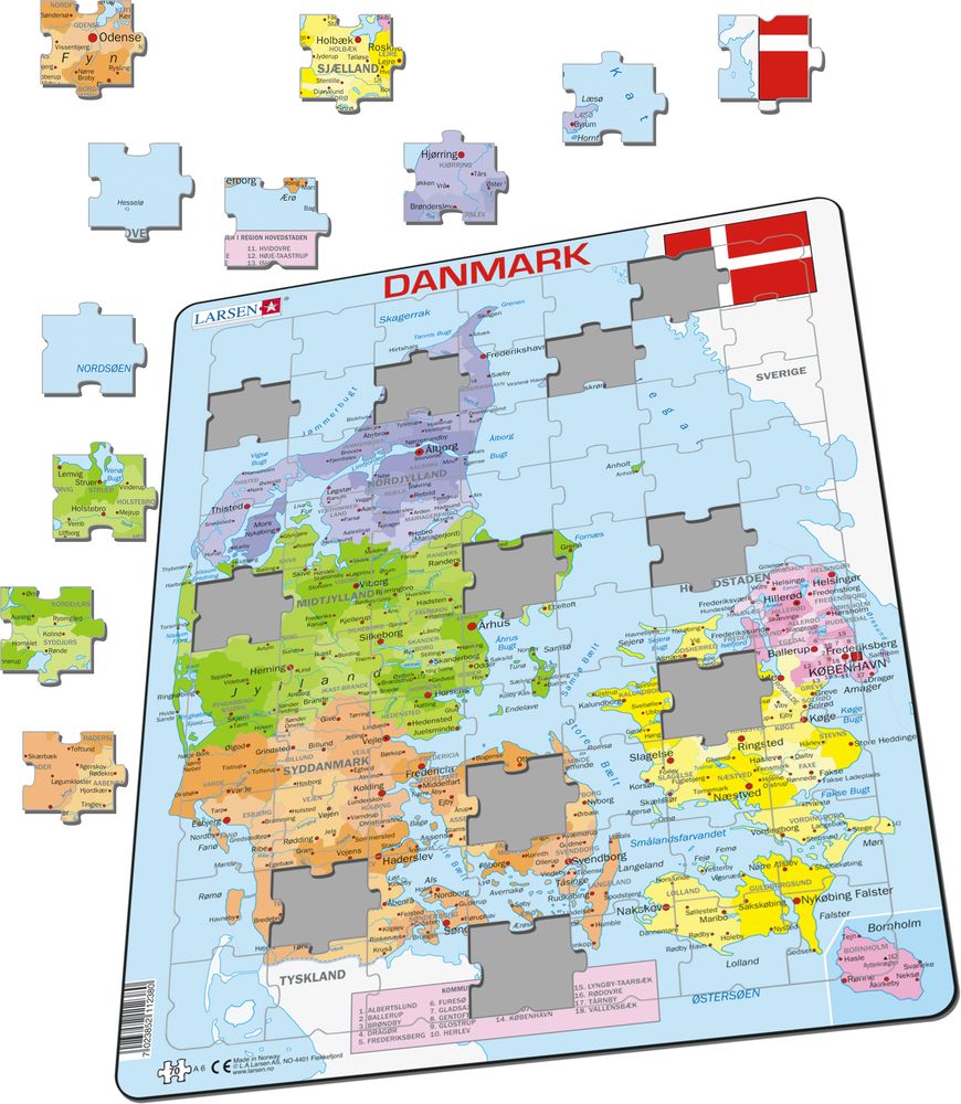
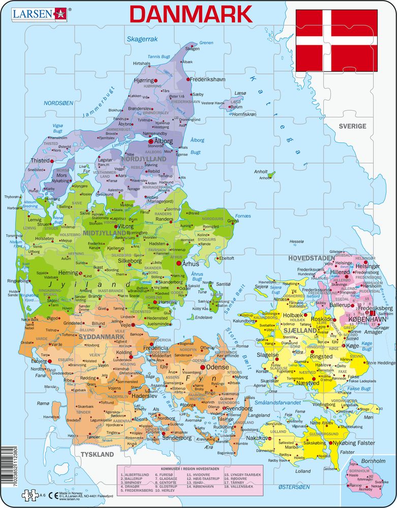
A6 - Denmark Political Map
Maxi (36.5x28.5 cm) with 70 pieces
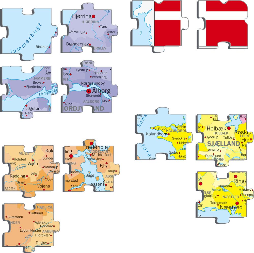
This colorful puzzle with a political map of Denmark shows the regions marked with their own color, and within each region the municipalities are marked with their own color tones. Because the 70 pieces look the same, the puzzle is more difficult than you might think, so study the map before taking the pieces out of the frame. What is the name of the strait between Denmark and Sweden? What is the name of Denmark's northernmost city? Do you know the name of any of the many Danish islands? If you put the puzzle together a few times and take the time to read the names on the map, while trying to remember where they are located, then you can learn a lot about this adorable country.
A6 - Denmark Political Map is available in the following versions:
- Danish (EAN/GTIN: 7023852112380)


